February 11, 2005
Compared to What
One thing that all the Web map providers miss is that lots of people have a great spatial sense when it comes to their own neighborhood, but lose it when they go on vacation.
So if you've lived all your life in San Francisco, you know that walking from Fisherman's Wharf to Chinatown is a bit of a trek, but isn't a bad walk, and kind of nice in a way. But if you're in Chicago on business, you don't know if you can walk from the Wrigley Building to Navy Pier. Those damn tall buildings make you lose spatial perspective (although I guess the hills do the same for tourists to SF).
Wurman got it right with his US Atlas (1990). By dividing the country into equal-sized grids, and presenting major cities at the same scale, you could just flip between pages and compare Dallas to Baltimore, and compare both to somewhere you know well, like LA.
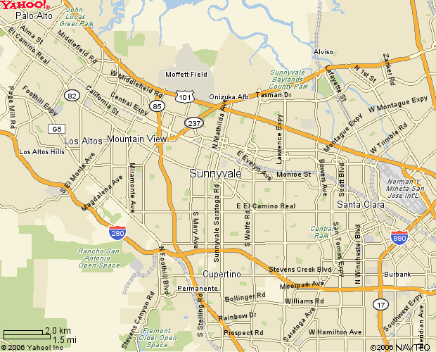
It wouldn't be too hard to do this on the Web--just another IFRAME or something, right? Or just plunk the gifs down onto the page:


